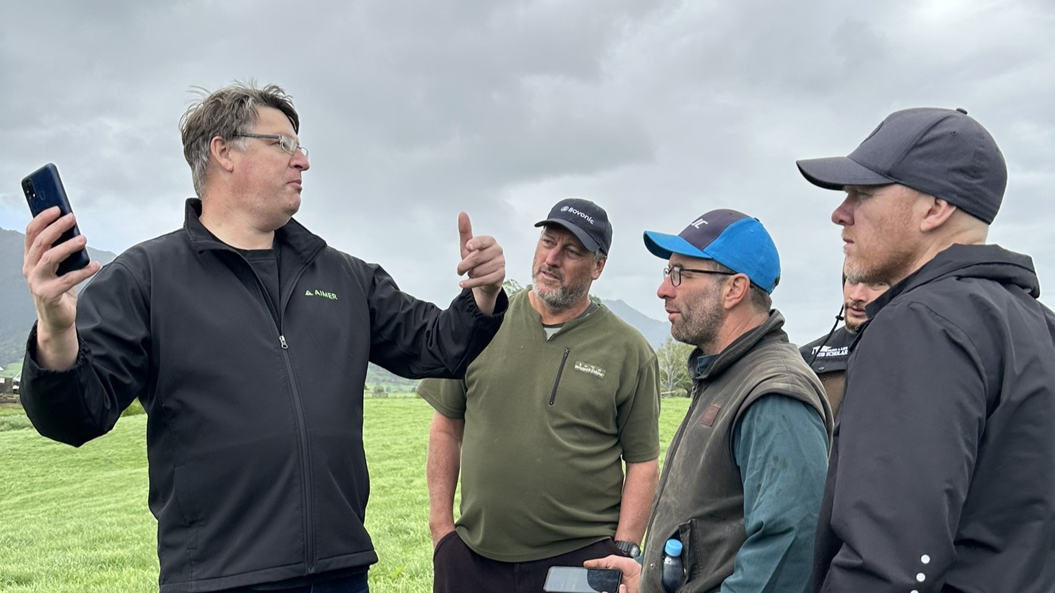
Aimer Farming has launched new pasture monitoring capability that combines proprietary satellite data with AI-powered smartphone pasture measurement and live farm modelling, giving farmers a more reliable view of pasture covers across their whole farm.
AIMER Satellite automates pasture monitoring and continues delivering reliable pasture when satellite imagery is limited by cloud or when on-farm measurement isn’t practical, such as during busy periods.
The system uniquely combines three sources of data: satellite imagery, highly accurate smartphone pasture measurement, and AIMER’s live paddock modelling (digital twin of each farm).
Together, these inputs deliver more reliable pasture estimates than satellite-only approaches, while reducing the need for full farm walks or manual data entry, including recording grazing events.
Aimer Farming Founder and CTO Jeremy Bryant says satellite technology has huge potential for pasture management, but the real value comes when it is connected with accurate on-farm measurement.
“Satellite imagery is incredibly powerful because it gives farmers visibility across the whole farm,” Jeremy says.
“But farmers make pasture decisions every day, not just when a satellite passes over. AIMER Satellite helps farmers keep a better handle on pasture across the farm, even when time, weather or workload make regular measurement difficult.
“That’s what makes this technology different from satellite-only pasture technology. AIMER Satellite combines satellite data with smartphone measurement and what AIMER learns about paddock growth over time.”
Using AIMER’s AI-powered smartphone technology, farmers scan part of their farm, and AIMER estimates the rest, saving hours of farm walks while generating forecast feed wedges and automated grazing plans.
AIMER Satellite extends this by incorporating satellite observations into AIMER’s live paddock models, improving how the system understands individual paddock performance and increasing the reliability of pasture estimates over time.
AIMER’s smartphone measurement delivers more than 90% accuracy when pasture is measured directly. AIMER Satellite is designed to maintain around 80% daily accuracy by combining satellite data, smartphone measurement and paddock learning.
Jeremy says reducing admin for farmers and making the technology practical for them to use day-to-day has also been a major focus.
“We know many systems rely on manual data entry, particularly recording grazing movements, to maintain accuracy,” he says.
“AIMER Satellite is designed to deliver reliable pasture intelligence, without requiring farmers to record grazing events, making it far more practical during busy periods or difficult conditions.”
Jeremy says the launch is another step towards making pasture management easier and less manual for farmers.
“Pasture remains one of the biggest drivers of farm performance, but it is also one of the hardest things to consistently monitor well,” he says.
“Our goal is to give farmers a clearer, more reliable view of what is happening in their paddocks, so they can make good decisions earlier and with less effort.
“We see satellite technology playing a major role in the future of pasture management, particularly when it is combined with other sources of on-farm intelligence.”
AIMER Satellite is a new capability within AIMER’s broader pasture intelligence system, integrating pasture measurement with feed wedges, forecasts and automated grazing plans.
About Aimer Farming
Founded in 2021 and based in Hamilton, Aimer Farming develops AI-powered tools that help farmers optimise pasture and livestock management.
Its flagship technology, AIMER, uses smartphone measurement, forecasting tools and proprietary algorithms to help farmers measure pasture, forecast feed supply, generate grazing plans and make more confident on-farm decisions.
AIMER is already used on more than 650 farms, with more than 10,000 pasture measurements recorded each week.
FAQs: AIMER Satellite pasture measurement
What is AIMER Satellite pasture measurement?
AIMER Satellite is Aimer Farming’s new satellite pasture measurement capability within the AIMER pasture intelligence platform.
It is the first pasture monitoring technology to combine satellite imagery with AI-powered smartphone pasture measurement, giving farmers a more reliable view of pasture across the whole farm.
By bringing together satellite data, smartphone pasture measurement and intelligent paddock learning, AIMER Satellite helps farmers monitor pasture between satellite passes and when regular farm walks are not practical.
Does AIMER Satellite work between satellite passes?
Yes. AIMER Satellite is designed to keep delivering useful pasture estimates between satellite passes.
Unlike satellite-only pasture measurement tools, AIMER Satellite combines satellite data with smartphone pasture measurement and what AIMER learns about how individual paddocks grow over time.
This helps farmers maintain confidence in their pasture information, even when there is no new satellite image available.
How much pasture do I still need to measure myself?
AIMER Satellite is designed to reduce the need for constant pasture measurement, full farm walks and daily manual recording.
Farmers can still use AIMER’s smartphone pasture measurement when they want extra confidence or on-farm validation. AIMER Satellite then uses that information, along with satellite data and paddock learning, to help estimate pasture across the rest of the farm.
The goal is to help farmers spend less time measuring pasture, while still having reliable pasture information to support feed and grazing decisions.
Why does AIMER Satellite combine satellite and smartphone pasture measurement?
Satellite imagery is useful because it gives farmers visibility across the whole farm.
Smartphone pasture measurement adds accurate, on-farm pasture information.
By combining satellite imagery and smartphone pasture measurement, AIMER Satellite can provide a more reliable pasture picture than satellite-only tools. It connects broad satellite coverage with real farm measurements and paddock growth patterns, helping farmers make more confident feed and grazing decisions.
What happens during cloud cover or poor satellite conditions?
AIMER Satellite does not rely on satellite imagery alone. When satellite conditions are less than ideal, AIMER can continue estimating pasture using smartphone pasture measurement, paddock learning and historical growth behaviour.
This helps farmers maintain a useful pasture picture between satellite observations and when weather or farm conditions make regular pasture measurement difficult.
Do I need to manually record grazing movements or grazing events?
No. AIMER Satellite is designed to reduce reliance on daily manual grazing event records.
Grazing information can help refine precision, but the system does not rely on farmers constantly recording grazing movements every day to remain useful.
This makes AIMER Satellite more practical for busy periods, challenging weather, or times when regular data entry is not realistic.
How accurate is AIMER Satellite pasture measurement?
AIMER’s smartphone pasture measurement technology delivers more than 90% accuracy when pasture is measured directly.
Between satellite observations, AIMER Satellite is designed to maintain around 80% accuracy on any given day by combining satellite imagery, smartphone pasture measurement and intelligent paddock learning.
Pasture estimates improve over time as AIMER learns how individual paddocks behave and grow.
How is AIMER Satellite different from other satellite pasture measurement tools?
AIMER Satellite is different because it does not rely on satellite imagery alone.
It combines satellite imagery, AI-powered smartphone pasture measurement and intelligent paddock learning. This gives farmers a more connected and reliable view of pasture across the farm.
AIMER Satellite also:
- uses smartphone pasture measurement as part of the platform
- learns how individual paddocks grow over time
- reduces reliance on full farm walks and daily manual grazing records
- integrates pasture measurement with feed wedges, forecasts and automated grazing plans
Is AIMER Satellite just satellite imagery?
No. Satellite imagery is only one part of AIMER Satellite.
AIMER Satellite combines satellite data with smartphone pasture measurement and intelligent paddock learning to create pasture estimates farmers can use with more confidence.
That combination is what makes it different from satellite-only pasture measurement tools.